julians
Well-Known Member
I dont have a chartplotter on my boat, I suspect i dont really need one, as I've managed reasonably well with a waterproof android tablet and the navionics app for ages, but every now and again I think I should get a proper chartplotter.
So I'm now thinking about this again, and I wonder what is considered to be the best chartplotter for use in a small sports boat (windy 25).
I think I'd like it to be mounted on a bracket rather than flush mounted into the dash, purely to make installation easier as there isnt really any space on the dashboard for it to go without fabricating panels and other things.
It will need to be waterproof (I guess they all are?) as the cockpit does get wet in a rough sea.
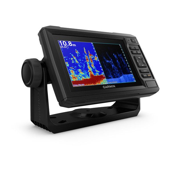
I dont especially like touchscreens on boats, so if it had real buttons/knobs that would be better, but I think I may be out of luck here. And if it could be hooked to the depth sounder and engine in the future that'd be nice to have.
The raymarine dragonfly range look ok, but I havent used them.
I'll dig out a picture of the existing dash , if anyone has any good idea's where to mount it.
So I'm now thinking about this again, and I wonder what is considered to be the best chartplotter for use in a small sports boat (windy 25).
I think I'd like it to be mounted on a bracket rather than flush mounted into the dash, purely to make installation easier as there isnt really any space on the dashboard for it to go without fabricating panels and other things.
It will need to be waterproof (I guess they all are?) as the cockpit does get wet in a rough sea.
I dont especially like touchscreens on boats, so if it had real buttons/knobs that would be better, but I think I may be out of luck here. And if it could be hooked to the depth sounder and engine in the future that'd be nice to have.
The raymarine dragonfly range look ok, but I havent used them.
I'll dig out a picture of the existing dash , if anyone has any good idea's where to mount it.

 culture of screens ,the more the merrier it feels .


