Refueler
Well-known member
Apologies if this is reiterating points already made, but haven't read all as laptop batteries low and no means to recharge.
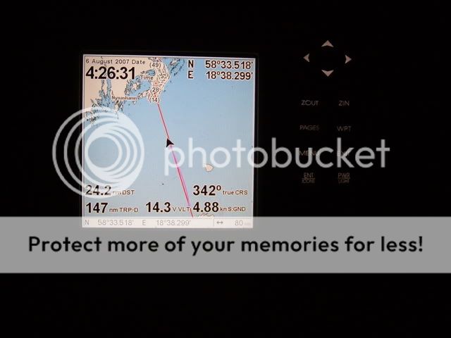
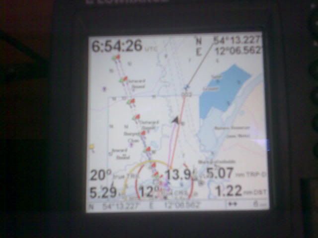
Working log? Yes, ideally, if less so where I am in the Med where currents are generally slight (and hull growth gives logs a hard time). But so many posters make the point that GPS might die (instrument or signal), whilst every one of us knows that GPS is far more dependable than any log.
More absurd: when I last did an RYA course we were urged always to keep dead reckoning positions "in case GPS failed". This may have changed but to the best of my knowledge it's still the case. Luddite nonsense! Why monitor a guess of your position (albeit an informed guess) when you can plot an accurate one as often as takes your fancy. Should GPS fail, then's the time to start a dead reckoning plot, but you'll know for sure where you were when it started.
The only compelling reason (and it's a good one, if not the one generally promoted) to habitually make a dead reckoning plot is to assess your skills: i.e. to compare that plot to the true one garnered from GPS.
Or am I missing something?
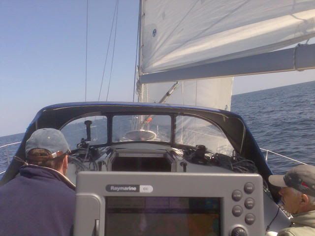
I would defy most people to do a DR while using GPS .... they would naturally bend to using info of the GPS to plot .. so losing the DR format ... in fact it would be more a 'corrected EP !!'