Origins of the boulders

It all relates to Notices to Mariners! Harwich Harbour Authority are deepening the channel into Felixstowe (in competition with the Port of London new Gateway probably). They have been working on a very substantial deepening project for .... is it over a year now? ..... Having deepened it in the Haven and out into the Thames Estuary to the Sunk gyratory, they nearly finished but had found many 'boulders'. they then planned to lift them. The local notices have been giving us an almost weekly update on when and how the boulder removal would be achieved: see 32-2023 Boulder Removal Operations - Till (update 1) - Harwich Haven Authority

On last week's NtM, Antarctic Pilot mused what was the origins of the boulders and suggested glacier erratics. I wondered if it might be septaria because in the 19th century a lot of septaria was dredged up in and aroudn Felixstowe, Harwich and Walton.

I thought the boulders would be bigger: perhaps many are. They are being dumped at the Inner Gabbard East disposal site.
 
There's a commonly used scale for naming geological material by size: the Wentworth scale (other scales are available)

A boulder is anything above 10 inches diameter.

If they are septaria, they will have cracks filled with a different material from the main mass (or concretion).
 
I can see that they are not very large, but surely they could have been dumped along the coast where they are having coastal erosion problems. Could they not be be mixed in with the larger rocks that are being imported?
 
I'm pleased to see that my guess about them being glacial erratics is supported!

For those without a background in geology, the great ice sheets of the glacial periods extended across the North Sea, from Norway and Sweden. These glaciers basically acted like vast sheets of sandpaper, scouring rock from the source areas and carrying it in the form of what used to be called Boulder Clay (I think it's called diamicton of glacial origin these days) to East Anglia where it was dumped in the terminal areas of the glaciers. In with all the fine sand, silt and clay are occasional larger boulders, known erratics, and this is what the HHA is assiduously dredging up. Because they have travelled from distant source areas, you get occasional pieces that are quite exotic in nature; I mentioned labradorite, which is one of the types of stone that was used to identify the source areas.
 
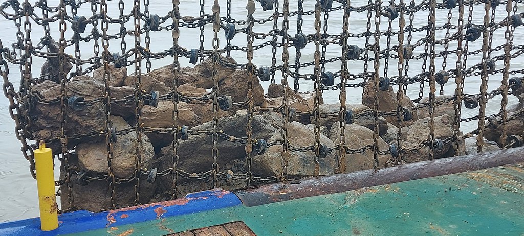
Kind response and image from the Harwich Harbour Authority Comms Office: "The boulders are generally sandstone, probably of glacial origin, and are found within the stiff clay."

Boulder by Roger Gaspar, on Flickr
Rock identification from photos is extremely error prone, but I'd guess one or two of the darker coloured ones are igneous or metamorphic, which is not unexpected (see my previous post)
 
I'm pleased to see that my guess about them being glacial erratics is supported!

For those without a background in geology, the great ice sheets of the glacial periods extended across the North Sea, from Norway and Sweden. These glaciers basically acted like vast sheets of sandpaper, scouring rock from the source areas and carrying it in the form of what used to be called Boulder Clay (I think it's called diamicton of glacial origin these days) to East Anglia where it was dumped in the terminal areas of the glaciers. In with all the fine sand, silt and clay are occasional larger boulders, known erratics, and this is what the HHA is assiduously dredging up. Because they have travelled from distant source areas, you get occasional pieces that are quite exotic in nature; I mentioned labradorite, which is one of the types of stone that was used to identify the source areas.
Are 'doggers' in this category also? Large flat rounded sandstone lumps? Many on the shoreline between Herne Bay and Reculver, for instance, left as the soft cliff erodes southwards. And also presumably what give the Dogger Bank its name?
 
Are 'doggers' in this category also? Large flat rounded sandstone lumps? Many on the shoreline between Herne Bay and Reculver, for instance, left as the soft cliff erodes southwards. And also presumably what give the Dogger Bank its name?
No - too far south. Harwich is almost at the southern limit of glaciation in the UK.

Sounds like some form of concretion within the softer material, but as I said before, I'm no expert on tertiary geology!
 
Top