whipper_snapper
New member
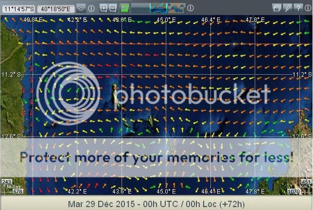
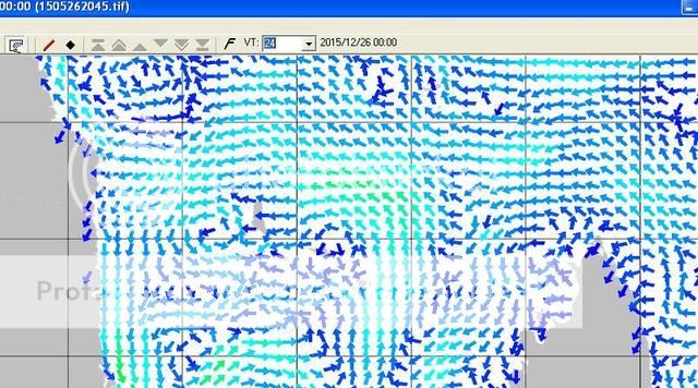
I'm looking for a tool to give details of ocean surface currents. I'm sure the data is out there and available for accurate prediction over reasonable timescales of the location, direction, speed of currents, but I cannot find it with the resolution I would like. I'm thinking particularly about the Indian Ocean coastal currents which are strongly influenced by wind and have quite tight boundaries.
Thanks
Thanks