RupertW
Well-known member
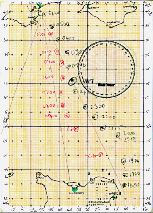
We still use paper passage charts but I admit haven’t regularly used the rest since Cornwall to Brittany sails pre-GPS. Still always got there but fog was doubly difficult.And the chances of TPTB switching off GPS for longer than a few hours are vanishingly small too. Everyone knows how dependent many aspects of modern life are on sat nav. So really, my paper charts, bearing compass, Breton plotter and dividers are just dead weight.

