onesea
Well-known member
Ok I have AIS and other boat data over Wifi, looking at other apps, primarily for andriod.
I am not thinking Navionics, Open Seamap, Qvtlm, Memory map etc
Looking at less main stream apps, I found this one:
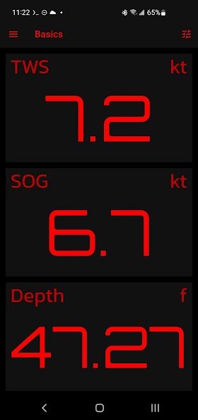
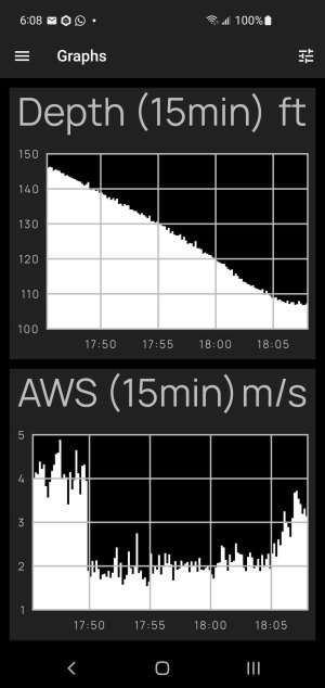
A simple graphical customisable display:


NMEA Dashboard - Apps on Google Play
The one that would be nice is one that sends the data from one phone to another, allowing remote monitoring. I am thinking of at anchor or in port when on the boat but not with the boat. Depth heading position on map.
However any other useful apps, would be appreciated.
I am not thinking Navionics, Open Seamap, Qvtlm, Memory map etc
Looking at less main stream apps, I found this one:
A simple graphical customisable display:


NMEA Dashboard - Apps on Google Play
The one that would be nice is one that sends the data from one phone to another, allowing remote monitoring. I am thinking of at anchor or in port when on the boat but not with the boat. Depth heading position on map.
However any other useful apps, would be appreciated.
