sailaboutvic
Well-known member
How do you find the depths on Navionics charts , I been finding at times they are way out at CD in shallow areas ,Asking Navionics for a route (2.5m depth) sends you on this path
View attachment 158717
For a 1.5m depth the routes goes where you at first asked:
View attachment 158718
So perfectly doable both ways, but you must of course select the one that fits our need
a few times I found much more water then expected allowing for tide .
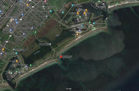
We anchored in Lindelse Nor the other day expecting to find around 0.5 under us close in, to get a bit of shelter from a NE that was going to blow over night.
we ended up with 1.5 and much further in .
we are now way up North now ,
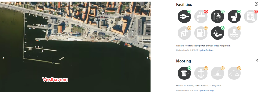
Korsor not quite as pretty as other parts of Denmark , naval base , large marina at DDK 160 or four night for the price of three .
very clear water for swimming Althought a bit chilly getting in .
Attachments
Last edited:

