jdc
Well-known member
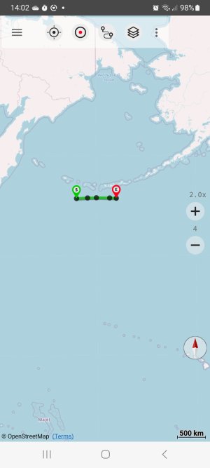
A program of mine outputs gpx routes, and I've just tried one of them which goes west from 177° 30'W to 177° 20'E, as follows:
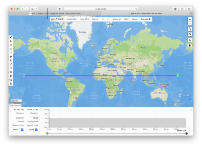
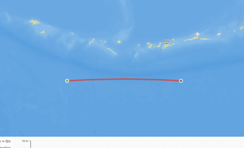
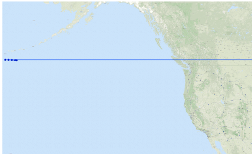
However when I try to view it on google maps it plots a line from 177° 30'W to 180°, but then a line going back E all the way round the earth to 179°E. Maybe, indeed probably is, my fault as I can't believe google maps would get something this basic wrong, but it begs the question how one's supposed to represent tracks across 180°?
Code:
<rte>
  <name>route from gt circle planner</name>
  <rtept lat="50.000" lon="-177.500"/>
  <rtept lat="50.010" lon="-178.000"/>
  <rtept lat="50.023" lon="-179.000"/>
  <rtept lat="50.028" lon="-180.000"/>
  <rtept lat="50.025" lon="179.000"/>
  <rtept lat="50.012" lon="178.000"/>
  <rtept lat="50.000" lon="177.333"/>
</rte>
However when I try to view it on google maps it plots a line from 177° 30'W to 180°, but then a line going back E all the way round the earth to 179°E. Maybe, indeed probably is, my fault as I can't believe google maps would get something this basic wrong, but it begs the question how one's supposed to represent tracks across 180°?


