Twister_Ken
Well-Known Member
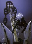
I dont know what link and picture you are referring to but I do remember a picture that showed a chain.
From what I remember it was not the main anchor chain. That was pointed out at the time.
It seemed to come from deck level and IMHO was a lot lighter that the main anchor chain would be.
Thought it was concluded that that was a ladder.


")