Which Weather App

Which weather App do you use?

  • Predict Wind Pro £600 or £1100/yr

    Votes: 0 0.0%
  • Squib Mobile

    Votes: 0 0.0%
  • Squib Mobile €33.20/yr

    Votes: 0 0.0%

  • Total voters
    30
  • Poll closed .

franksingleton

Well-known member
Joined
27 Oct 2002
Messages
3,465
Location
UK when not sailing
weather.mailasail.com
Frank understates the difficulty of ingesting data into the system. Observations are often at point locations, and although these are carefully chosen, may not always sample the overall field effectively. The time of observations doesn't always correspond to the time-steps of the model. Interpolation is fraught with its own problems; choosing the best interpolation scheme for a particular dataset is not intuitive. Satellite data, while requiring less interpolation may not measure the desired parameters directly, and may have a non-linear relationship with the desired parameters.

All these are handled routinely by the Met Office and other similar agencies, but that step is vital to modelling. I understand that the whole process is dynamic; the previous model is adjusted to match the latest data values.

I also understand that hind-casting is used to validate the modelling process, using data that were not available in time for forecasting.

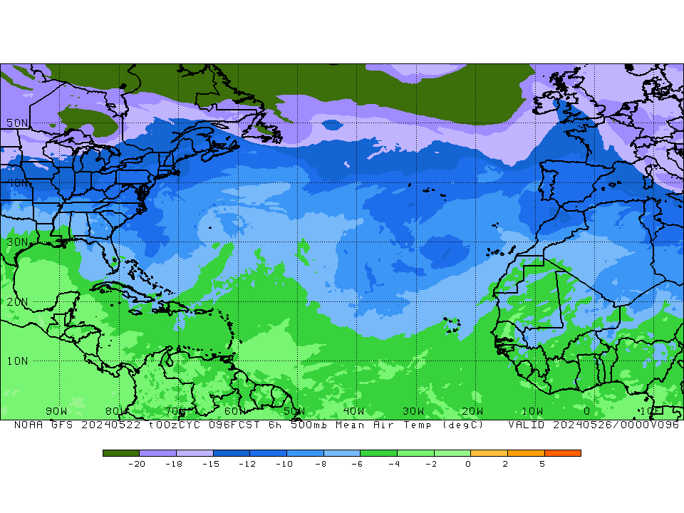
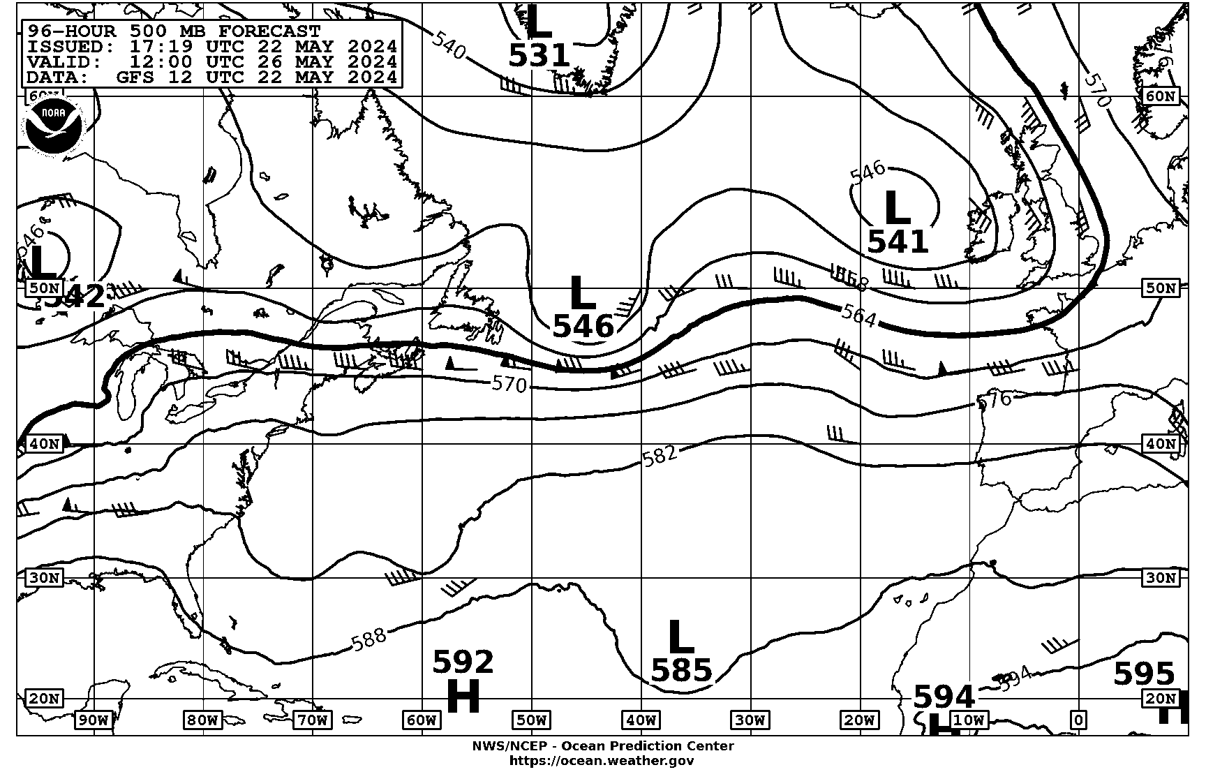
As Frank says, the real issue is the ACTUAL resolution of the models used. Of course they can be resampled to provide a nicer looking display - but the real resolution is unchanged.
In situ data at fixed times from weather observing stations, radiosondes, ships and tethered buoys account for about 15% of the value of a forecast. In situ data at random times, aircraft and drifting buoys provide 8 or 9%. The majority of the input comes from satellites. Air Motion Vector data at fixed times from GEOS account for about 11 or 12% of the value. These are by tracking high level cloud using visible and infrared as well as tracking areas of water vapour high up.
By far the greater data volumes are from LEOS. These provide about 50% of the forecast value. A major problem is that neither infrared nor microwave soundings soundings actually provide temperature or humidity. They measure the effects of temperature and humidity. The radiative equations cannot be inverted.
The most recent satellite data source is radio occultation using GPS (GNSS) signals. These provide about 8% of the forecast outcome. These measure the refraction of radio signals at high resolution vertically but low horizontally. Thus, they give profiles of air density. In the stratosphere that means the, effectively, measure temperature. In the troposphere the effects of temperature cannot be separated. The importance of GPSRO is that there is no instrumental bias and they give very good data in the stratosphere.
Data analysis is by optimum fitting over the period since the last forecast. For each time step over the past 6 hours (12 for ECMWF) the models predict all measured data - including radiances, microwave emissions and RO. The fitting is a multi-dimensional version of fitting 2 dimensional data to a straight line or a curve.
On top of all the above is the problem of vastly different data volumes. There are small amounts of accurate, in situ data versus vast quantities of data of variable resolutions
I hope all that makes sense and gives an indication of just how difficult is data analysis. Models have certainly improved greatly in recent years but a major contribution has been the improvements both in satellite sensing and the way the data are used.
 

GHA

Well-known member
Joined
26 Jun 2013
Messages
12,213
Location
Hopefully somewhere warm
Visit site
We get a 1 hour forecast rather than a 3 hour. It helps especially when there is a weather system moving through to see a trend that the 3 hour predictions don't show. They don't always get the timing right though
Bearing in mind the models only create 3h data so 1h is just joining the dots colouring in anyway. Atlantic is off the charts hot this year apparently & no one knows why.. could be a bit volatile...
I look at the 500mB charts every day & upper level temperatures which can sometimes give hint of any cut off lows forming before they show up in the gribs.

What is impossible to tell (even with obsessive logging of everything) is if any of this actually creates anything useful or if we are just kidding ourselves & see what we want to see... 😁
But it's still fun & interesting trying to visualize a more zoomed out 3d feel for what's going on. 😎
gfs.t00z.500mb_tmp.f096.natl.gif

PPAM50.gif


edit : now that's interesting, image shown in the post is different to the image when editing or linked.. https://tgftp.nws.noaa.gov/fax/PPAM50.gif
 
Last edited:

franksingleton

Well-known member
Joined
27 Oct 2002
Messages
3,465
Location
UK when not sailing
weather.mailasail.com
Bearing in mind the models only create 3h data so 1h is just joining the dots colouring in anyway. Atlantic is off the charts hot this year apparently & no one knows why.. could be a bit volatile...
I look at the 500mB charts every day & upper level temperatures which can sometimes give hint of any cut off lows forming before they show up in the gribs.

What is impossible to tell (even with obsessive logging of everything) is if any of this actually creates anything useful or if we are just kidding ourselves & see what we want to see... 😁
But it's still fun & interesting trying to visualize a more zoomed out 3d feel for what's going on. 😎
gfs.t00z.500mb_tmp.f096.natl.gif

PPAM50.gif


edit : now that's interesting, image shown in the post is different to the image when editing or linked.. https://tgftp.nws.noaa.gov/fax/PPAM50.gif
I would, politely, point out that models have vastly more data than the 500hPa chart. The human brain is, not even remotely, able to use the data available. I learnt that in the late 1970s before we were using global models. I was arguing that there was skill even out to 5 days that we were not allowed to communicatehto the public. Maybe, I was a little premature. Nearly 50 years later I see occasions when the forecasters are confident out to 7 days ahead.
 

GHA

Well-known member
Joined
26 Jun 2013
Messages
12,213
Location
Hopefully somewhere warm
Visit site
I would, politely, point out that models have vastly more data than the 500hPa chart.
"But it's still fun & interesting trying to visualize a more zoomed out 3d feel for what's going on. 😎"
And I personally find the 500mB charts very useful, it's handy to know where the road is as well as just watching where the cars (lows) are going.

🙂
 
Last edited:

franksingleton

Well-known member
Joined
27 Oct 2002
Messages
3,465
Location
UK when not sailing
weather.mailasail.com
"But it's still fun & interesting trying to visualize a more zoomed out 3d feel for what's going on. 😎"

🙂
I realise that. Many years ago, I wrote a critical review of a book by Alan Watts who was trying to explain the use of upper air charts. I was amused/horrified when a couple of American meteorological dinosaurs wrote a book trying to claim that some quite small surface detail could be predicted from 500hPa charts despite their lack of detail. And that was way before we had really learned how to use satellite data at the analysis stage.
 

GHA

Well-known member
Joined
26 Jun 2013
Messages
12,213
Location
Hopefully somewhere warm
Visit site
I realise that. Many years ago, I wrote a critical review of a book by Alan Watts who was trying to explain the use of upper air charts. I was amused/horrified when a couple of American meteorological dinosaurs wrote a book trying to claim that some quite small surface detail could be predicted from 500hPa charts despite their lack of detail. And that was way before we had really learned how to use satellite data at the analysis stage.
Agree, gribs are for day to day. But just watching lows track across the Atlantic seemingly random makes much more sense to me looking at the 500mB at the same time, & I use them for a quick glance "do I need to pay attention in the next few days?" 5640mB line pointing a scotland, probably not unless a cut off low appears & does it's own thing. Hard to relax for long with a cut off low about, mind of their own they seem to have.... 😲🙂
 

franksingleton

Well-known member
Joined
27 Oct 2002
Messages
3,465
Location
UK when not sailing
weather.mailasail.com
I use the free Predict Wind app on my iPhone. I used to have it on my old iPad as well but it no longer works on IOS 12.5.7.
I have looked at PW as a source of GFS etc although I have long regarded their PQG and PWE as a waste of time. Maybe I did not look hard enough nut I could not see how to save forecasts for later offline use and comparison with the next forecast rum. Consistency of forecasts 12 or 24 hours apart is a good guide to reliability rather than comparing different models using the same data.
What about Navtex? I still check before setting off.
In my books and articles I always recommemd monitoring GMDS texts. VHF, NAVTEX, BBC, internet all provide the same information. The emphasis is on safety and only fools ignore them.
 
Last edited:

Greg2

Well-known member
Joined
24 Jun 2002
Messages
4,292
Visit site
We use WeatherTrack, which uses GRIB files, and I have found it to be pretty good (accurate) for our U.K. inshore / N. Sea boating. I don’t recall paying a fee for it from the App Store and there is certainly no subscription.
 

Bristolfashion

Well-known member
Joined
19 May 2018
Messages
4,892
Location
Floating around the UK
Visit site
I agree with comments above about the met office - pretty reliable over their 48hr period but also realistically vague - often reminding you that, whilst model X says precisely F5 at 1600hrs, there could just be a smidge of 6 or 7 about.
 

NormanS

Well-known member
Joined
10 Nov 2008
Messages
9,453
Visit site
It's worth remembering that all these are just forecasts. I could forecast the winner at Epsom, but I wouldn't necessarily be correct.
 

GHA

Well-known member
Joined
26 Jun 2013
Messages
12,213
Location
Hopefully somewhere warm
Visit site
I have looked at PW as a source of GFS etc although I have long regarded their PQG and PWE as a waste of time. Maybe I did not look hard enough nut I could not see how to save forecasts for later offline use and comparison with the next forecast rum. Consistency of forecasts 12 or 24 hours apart is a good guide to reliability rather than comparing different models using the same data.

In my books and articles I always recommemd monitoring GMDS texts. VHF, NAVTEX, BBC, internet all provide the same information. The emphasis is on safety and only fools ignore them.
One aspect of online navtex which can be very useful is being able to quickly copy/paste lat/longs straight into opencpn >
1713688277315.png


Though not top of the pile of weather info choices these days imho.
 

franksingleton

Well-known member
Joined
27 Oct 2002
Messages
3,465
Location
UK when not sailing
weather.mailasail.com
We use WeatherTrack, which uses GRIB files, and I have found it to be pretty good (accurate) for our U.K. inshore / N. Sea boating. I don’t recall paying a fee for it from the App Store and there is certainly no subscription.
The internet says, “
GRIB Robot Price: USD $2.99/7d, $5.99/mo, $15.99/3 mo, $28.99/6mo. Your iTunes account will automatically be charged at the same price for renewal within 24 ...
A$14.99”
I paid a small amount many years ago and nothing since. I still GRIBs free. There are many other features available.
 

Other threads that may be of interest

Top