KeithMD
Well-known member
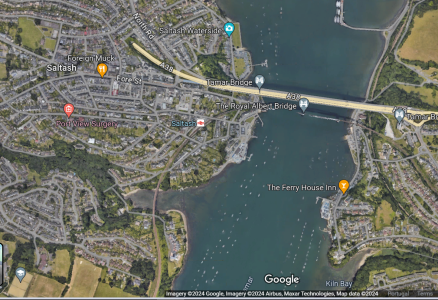
Thanks to another topic here, I was just having a look at the Google map and satellite images of the Tamar, up river from Saltash.
Here: Google Maps
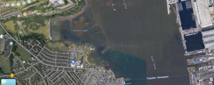
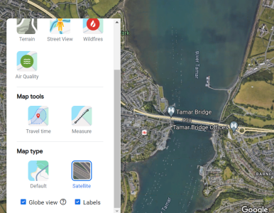
It was just to remind myself of some of the names of some of the more obscure places to moor a boat between Saltash and Morwellham, but because of not having my charts close at hand, As I scrolled south back past the Tamar Bridges, I had the nagging feeling something was strange about the Saltash images. It took a while for it to dawn on me. North and south of the Tamar Bridges , all the moorings, and all their boats, have disappeared! So have all the barges and buoys between Devonport and the Tamar Bridges. Very strange!
My first thought was perhaps it was a military obsfucation thing, done by Google because of HM RN Devonport. But that makes no sense, because loads of big RN ships are still clearly visible, including the subs.
Plus, they are still visible on the Bing Maps satellite images.
Bing Karten
Can anyone think of any reasons?


