tom3987
New member
Hi,
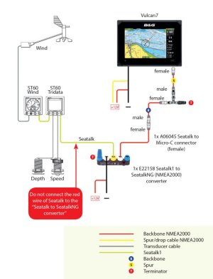
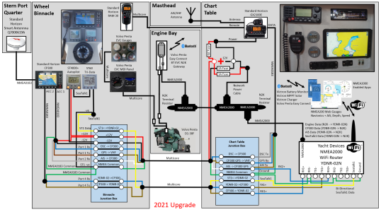
i am looking for some help on the seatalk, nmea 0183 & 2000.
The current setup i have:
St60+ wind
ST60 tri
ST6000+ autopilot
Garmin GPSMAP 750s
I want to add:
NAIS- 300 https://softwaredownloads.navico.com/Simrad/SimradYachting_Software - Copy/Downloads/documents/NAIS300_User_Manual_Iss_1_0_Dec_07.pdf - i have bought this.
B&G Vulcan 9 Chartplotter for outside. NMEA 2000 - will be buying shortly
Standard Horizon GX1400 GPS to replace the main VHF. (NMEA 0183) - will be buying shortly
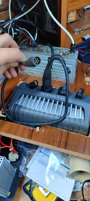
Im trying to figure out the best way to do this. The STs are using seatalk but it looks like the Garmin is using nmea0183 (I think).
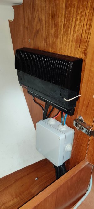
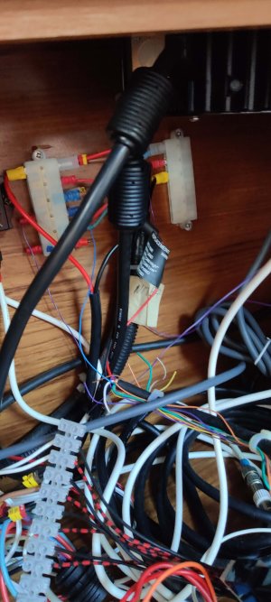
My understanding is that seatalk is daisy-chained. So the data comes into one ST unit then into the next. Im assuming im missing the switchover as i can't see how this data is showing on my garmin as i can see the cable is NMEA. Im assuming there will be a converter of some sort?
the AIS looks to be NMEA0183 i think, this has come with a separate GPS. I want this to show on both chart plotters.
The autopilot has "raytheon type 100" which has SeaTalk & NMEA is this the "Converter" or is this solely for the autopilot.
The Vulcan 9 will be mounted outside. next to the STs (i know i will have repeated data but im thinking redundancy).
If I get the NMEA 2000 backbone and link this in with the NMEA 0183 with a converter, will all the data from the STs come through? as this is seatalk > nmea 0183 > nmea 2000
My thinking is if this is the case, then I would just need to connect the AIS to the backbone and the Vulcan 9.
Im new to all this if you can guess.
Ive attached some pictures of the set-up so far.
I want to make sure they all talk to each other before i buy them.
Attachments
-
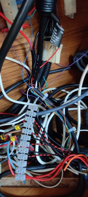 IMG_20240615_183640.jpg449.7 KB · Views: 14
 -
 IMG_20240615_191315.jpg328.3 KB · Views: 9
 -
 IMG_20240615_190722.jpg261 KB · Views: 7
 -
 IMG_20240615_190711.jpg370 KB · Views: 7
 -
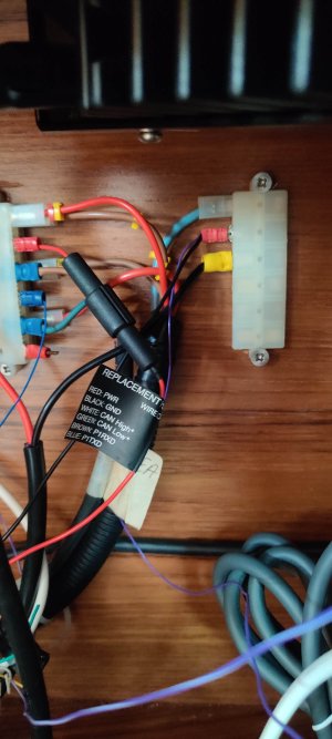 IMG_20240615_190659.jpg349.8 KB · Views: 7
 -
 IMG_20240615_190655.jpg344.1 KB · Views: 8
 -
 IMG_20240615_185931.jpg418.9 KB · Views: 8
 -
 IMG_20240615_183851.jpg582.5 KB · Views: 8
 -
 IMG_20240615_183739.jpg400.9 KB · Views: 9
 -
 IMG_20240615_183713.jpg549.8 KB · Views: 14

