ex-Gladys
Well-Known Member
Navionics doesn't even keep up with UKHO NtM's!
That's a wonderful photograph and it appears to show how the bank on the left also has a developed spit running roughly South East then curving to the East. So the start of the channel from seaward is between the ends of those two spits at the bottom pf the photo. This maybe be obvious to many but it's fascinating to me!Thanks Peter.
Here's an idea of what was lurking beneath the surface before the buoys were moved, LWS late February at 0.2m above CD.
Now have to wait until the next spring tide to see where the buoys have been laid in relation to this, and the long spit may have moved since the photo was taken.
View attachment 154004
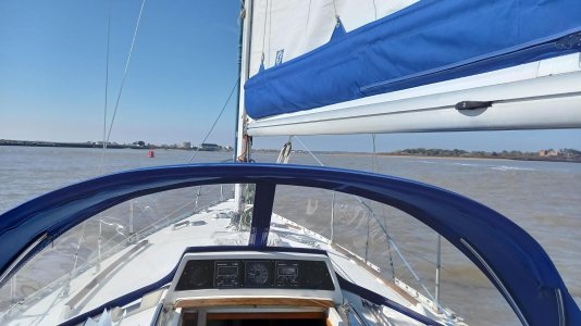
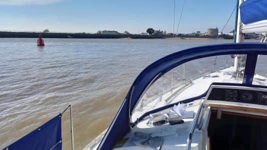
Looks like Weir could do with being moved further southThe main photo is on the ECP chartlet, here are a couple of additional Ore entrance photos taken yesterday.
Photos taken at LW - 1m above CD
View attachment 153898
View attachment 153897


Have there been any fatalities there?Hi John,
Thank you for that further information. Would you let us know what the least depth you observed was on this exploratory trip, please? That is death below waterline rather than below keel. Thanks,
Peter.
I don't believe so, at least not recently. Just my clumsy fingers and telephone keyboard as that's all I have access to while sat in Stansted Airport's departure lounge.
Mind you, a & P are opposite ends of the keyboard, so it may be the dreaded auto correct!
Peter
.
Hi CW,Went into the Ore entrance at the weekend 2.5 hours before beep HW.
Interesting, lots of water at the bar, fine after the port hand for a while then we ran aground. Absolutely stationary. No way we’re we shifting forward but because it’s shingle and not mud we managed to reverse off. Beware that you need to move to starboard before reaching the tip of the shingle spit, much more water there. The trouble is you need to hug the port side until then. Not fun but no harm done. We’re a long keel, with an exposed rudder, it might have been different.
Hi CW,
We are due to go in this coming weekend (been in many times before) and just trying to understand your very helpful post.
Did you go aground when going directly from Oxley PHB to Weir SHB?
Many thanks for that - really helpful.Hi, I’ve corrected my original post!
We came in past the port and left the starboard a little distance away - about a biscuit toss - as per east coast pilot. Turning to starboard we hugged the beach. We have transducers on port and starboard sides of our ridiculously wide hull - a legacy of an old fish finder not because we like to ditch crawl
Anyway there was more water on the port side until we got quite close to the beach. We started edging away toward mid stream but about 100m shy of the exposed tip of the spit we ran aground. We draw 1.5 meters with a sloping long keel, so running aground is never traumatic. I was really surprised though. On the east coast pilot it was about a smidge south of the 4.3m reading. Clearly that little bulge on the west beach sticks out quite a bit. Next time we’ll move to the centre where it says 2.8m. As soon as we reversed and carried on we were quickly in deepish water.
It was a small neep tide and we were just past half flood. Don’t worry about the bar it was a doddle; we’ve learnt our lesson about the later stages of the entrance. We weren’t prepared for such a swift shallowing.