Sticky Fingers
Well-Known Member
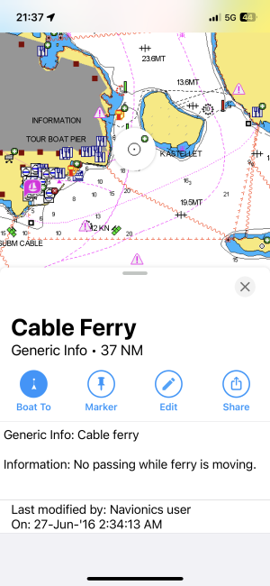
The clue is in the written warning. Variable depths changing frequently. If you switch on the crowd-sourced sonar depths do you see a major difference?I get to wonder how offen Garmin update there charts ,
below is the entrance to a Netherlands we entered the other day ,
as you can see the buoyage channel goes over the shallows the white area which is marked 6 to 8 mts has only a mts or so over it , anyone thinking there plenty to cutting the corner would be in trouble.
in reality any of us sailing anywhere using these charts are sailing bind ,
what are we paying for ? Not safe reliable for sure .