Reptile Smile
Well-Known Member
So this is a bit of a weird one, in that I don't totally know what I'm asking.
I've owned a series of battered old tubs that I've sailed in the Bristol Channel - none of them cost more than £600 GBP, and several were less than £250. I really enjoyed this, but my my wife took something of a dim view at the lack of luzury available. I made extensive use of Navionics, and still value the idea of having chart on phone, immediately to hand. The other thing I've really liked is storing GPS tracks as a momento type thing. However, on most other levels, Navionics does my swede in.
Out of the blue, my wife suggested earlier this year, that we charter a boat for our summer holiday, which we duly did. It was a wonderful experience, and my wife and family very much felt that this was much more the kind of sailing they wanted to do.
Accordingly, for the forseeable future, I shall not be sailing batter old tubs, but rather a combination of crewing and chartering.
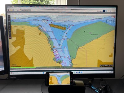
As part of our summer trip, I installed OpenPlotter on to a Lenovo Yoga laptop, and it was wonderful. I think the planning is fabulous, and the use of Grib files also great. My intention is now to move away from Navionics, and into OpenPlotter.
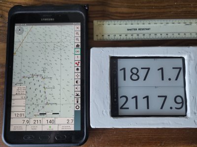
I recognise that one of the major benefits of OpenPlotter is its integration of everything into one, but this of course will not be what I'm doing. I also recgnise that that a RASPI is very much the backbone of OpenPlotter, but I'm not really sure how I could bring that into my particular use case - what would I use for a display? Have I already accidentally chanced upon my best for now, given that I have to take it onto crewing boats and charters, but not install it? And how can I get charts to be visible on my phone (rather than a speed/depth dashboard)?
Any thoughts or advise graeftully received!
I've owned a series of battered old tubs that I've sailed in the Bristol Channel - none of them cost more than £600 GBP, and several were less than £250. I really enjoyed this, but my my wife took something of a dim view at the lack of luzury available. I made extensive use of Navionics, and still value the idea of having chart on phone, immediately to hand. The other thing I've really liked is storing GPS tracks as a momento type thing. However, on most other levels, Navionics does my swede in.
Out of the blue, my wife suggested earlier this year, that we charter a boat for our summer holiday, which we duly did. It was a wonderful experience, and my wife and family very much felt that this was much more the kind of sailing they wanted to do.
Accordingly, for the forseeable future, I shall not be sailing batter old tubs, but rather a combination of crewing and chartering.
As part of our summer trip, I installed OpenPlotter on to a Lenovo Yoga laptop, and it was wonderful. I think the planning is fabulous, and the use of Grib files also great. My intention is now to move away from Navionics, and into OpenPlotter.
I recognise that one of the major benefits of OpenPlotter is its integration of everything into one, but this of course will not be what I'm doing. I also recgnise that that a RASPI is very much the backbone of OpenPlotter, but I'm not really sure how I could bring that into my particular use case - what would I use for a display? Have I already accidentally chanced upon my best for now, given that I have to take it onto crewing boats and charters, but not install it? And how can I get charts to be visible on my phone (rather than a speed/depth dashboard)?
Any thoughts or advise graeftully received!
")