Boo2
Well-Known Member
Hi,
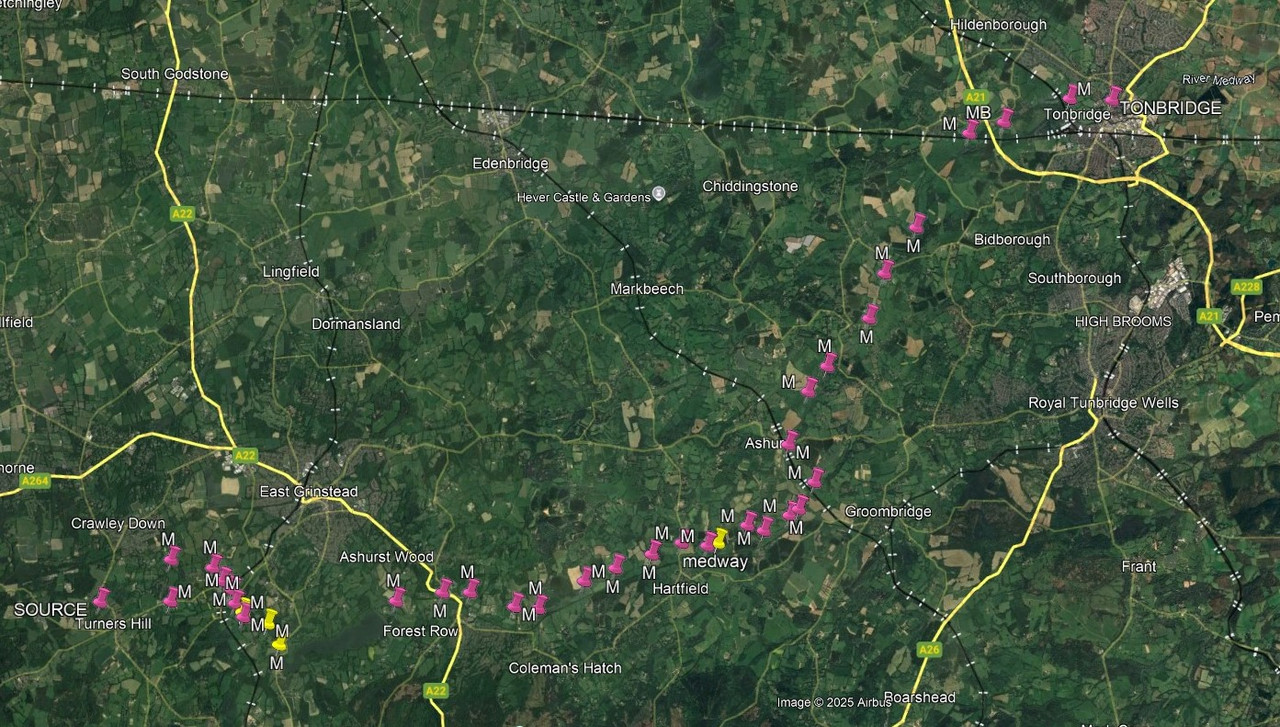
Question as title : How far up is The Thames a Navigation (specifically a Navigation rather than navigable) ?
I've just been watching this series on youtube where a man called Ed Pratt is traversing the full length of the Thames from source to sea in the course of the river itself. At one point he mentions his concerns that he may be trespassing and I wondered whether anyone can tell me how far up the Thames river it is officially a navigation (and hence traversing it is not tresspass) does anyone know?
I'd just like to emphasise I am not interested in how far up it is practically navigable as that is a different question, to which the answer is apparently "as far as the head, afoot in a wetsuit".
Thanks,
Boo2

.png")


")