How far up is The Thames a Navigation (specifically a Navigation rather than navigable) ?

Boo2

Well-known member
Joined
13 Jan 2010
Messages
8,604
Visit site
Hi,

Question as title : How far up is The Thames a Navigation (specifically a Navigation rather than navigable) ?

I've just been watching this series on youtube where a man called Ed Pratt is traversing the full length of the Thames from source to sea in the course of the river itself. At one point he mentions his concerns that he may be trespassing and I wondered whether anyone can tell me how far up the Thames river it is officially a navigation (and hence traversing it is not tresspass) does anyone know?

I'd just like to emphasise I am not interested in how far up it is practically navigable as that is a different question, to which the answer is apparently "as far as the head, afoot in a wetsuit".

Thanks,

Boo2
 

Gibeltarik

Active member
Joined
11 Dec 2018
Messages
308
Visit site
Hi,

Question as title : How far up is The Thames a Navigation (specifically a Navigation rather than navigable) ?

I've just been watching this series on youtube where a man called Ed Pratt is traversing the full length of the Thames from source to sea in the course of the river itself. At one point he mentions his concerns that he may be trespassing and I wondered whether anyone can tell me how far up the Thames river it is officially a navigation (and hence traversing it is not tresspass) does anyone know?

I'd just like to emphasise I am not interested in how far up it is practically navigable as that is a different question, to which the answer is apparently "as far as the head, afoot in a wetsuit".

Thanks,

Boo2
The Roundhouse and junction with the Thames and Severn is the limit for powered craft. There is, allegedly, a winding point, for full-length narrowboats but anything over 40ft will have problem these days. I have checked.......
 

Gibeltarik

Active member
Joined
11 Dec 2018
Messages
308
Visit site
The Roundhouse and junction with the Thames and Severn is the limit for powered craft. There is, allegedly, a winding point, for full-length narrowboats but anything over 40ft will have problem these days. I have checked.......
And I should have added that the formal limit of the navigation is Town bridge at Cricklade 135 miles from Teddington (Tks Chris Cove-Smith!)
 

ianc1200

Well-known member
Joined
6 Dec 2005
Messages
3,346
Location
Frinton on Sea
Visit site
About 20 years ago we (TuesdayNightClub) took a 60' narrowboat to Hannington Bridge, about halfway up from Lechlade to Cricklade. At that time there were a few boats moored a couple of miles beyond the Roundhouse. Back in the 70's the Army supposedly got a powered pontoon up to Cricklade Bridge.
 

LittleSister

Well-known member
Joined
12 Nov 2007
Messages
18,738
Location
Me Norfolk/Suffolk border - Boat Deben & Southwold
Visit site
The OP is asking where there is a public right to navigate, as opposed to what is physically navigable.

(I am not familiar with the Thames, so can't help with an answer.)

Public navigations are established by long historic use (and presumably may or may not be formally documented). In principle, you need the riverbed owner's permission to navigate where there is not a public navigation. In practice, there is 'leakage' in both directions. I know of examples elsewhere where people navigate (mainly in canoes etc.) without permission where there is no public navigation, and others where there is (was?) a public navigation, but access has been blocked by a private landowner and it has become generally accepted but presumably could be challenged in court by someone with deep pockets.

Also due to silting (typically the result of changes in agricultural practice and extent; increased water abstraction and paving/development; and construction of drainage systems) many former public navigations may no longer be physically navigable except by the smallest of craft, rather than the cargo craft who's historic use created the public right to navigate..
 
Last edited:

ianc1200

Well-known member
Joined
6 Dec 2005
Messages
3,346
Location
Frinton on Sea
Visit site
The OP is asking where there is a public right to navigate, as opposed to what is physically navigable.

(I am not familiar with the Thames, so can't help with an answer.)

Public navigations are established by long historic use (and presumably may or may not be formally documented). In principle, you need the riverbed owner's permission to navigate where there is not a public navigation. In practice, there is 'leakage' in both directions. I know of examples elsewhere where people navigate (mainly in canoes etc.) without permission where there is no public navigation, and others where there is (was?) a public navigation, but access has been blocked by a private landowner and it has become generally accepted but presumably could be challenged in court by someone with deep pockets.

Also due to silting (typically the result of changes in agricultural practice and extent; increased water abstraction and paving/development; and construction of drainage systems) many former public navigations may no longer be physically navigable except by the smallest of craft, rather than the cargo craft who's historic use created the public right to navigate..

The answer was given in post 3 - your licence covers you up to Cricklade High St bridge.
 

Boo2

Well-known member
Joined
13 Jan 2010
Messages
8,604
Visit site
The answer was given in post 3 - your licence covers you up to Cricklade High St bridge.
Yes, Gibeltarik answered above. It's hard to be certain from streetview etc but it seems there is no way down to the river from Town Bridge itself, strange if that's the end of the formal navigation.

Got to admit the idea of paddling a kayak down the length of the Thames does have some appeal 😀

Boo2
 
Last edited:

Chris_d

Well-known member
Joined
15 Jun 2001
Messages
4,734
Location
Oxfordshire
Visit site
This guy paddled from the source last year Bei Facebook anmelden and his blog is well worth reading.
We met him on the Thames last year at Pangbourne and we followed him down to Henley, gave him some diversions to do down St Patricks stream and the Hennerton backwater which he didn't know about.
Asked him where he was finishing his trip and he said Edinburgh!! Sure enough we went through London and turned left all the way up the East coast. Serious stuff!
 

RAI

Well-known member
Joined
13 Jun 2006
Messages
15,871
Location
Ayamonte
Visit site
I paddled up the Thames to Cricklade with three other students in two canvas and sticks canoes. Past the bridge, we could not go. There was not enough water even for canoes that summer. 1963.
 

ianc1200

Well-known member
Joined
6 Dec 2005
Messages
3,346
Location
Frinton on Sea
Visit site
Yes, Gibeltarik answered above. It's hard to be certain from streetview etc but it seems there is no way down to the river from Town Bridge itself, strange if that's the end of the formal navigation.

Got to admit the idea of paddling a kayak down the length of the Thames does have some appeal 😀

Boo2

Our canoe club did this, there's some sort of meeting hall next to Cricklade Bridge with a garden - we asked them and they allowed to drop in from their land. Did try and go above the bridge but didn't get anywhere. Another time kayaked up from Lechlade then back down again.
 

oldgit

Well-known member
Joined
6 Nov 2001
Messages
28,404
Location
Medway
Visit site
Something to do on a cold damp winter afternoon.
Difficult to plot the course of the river.
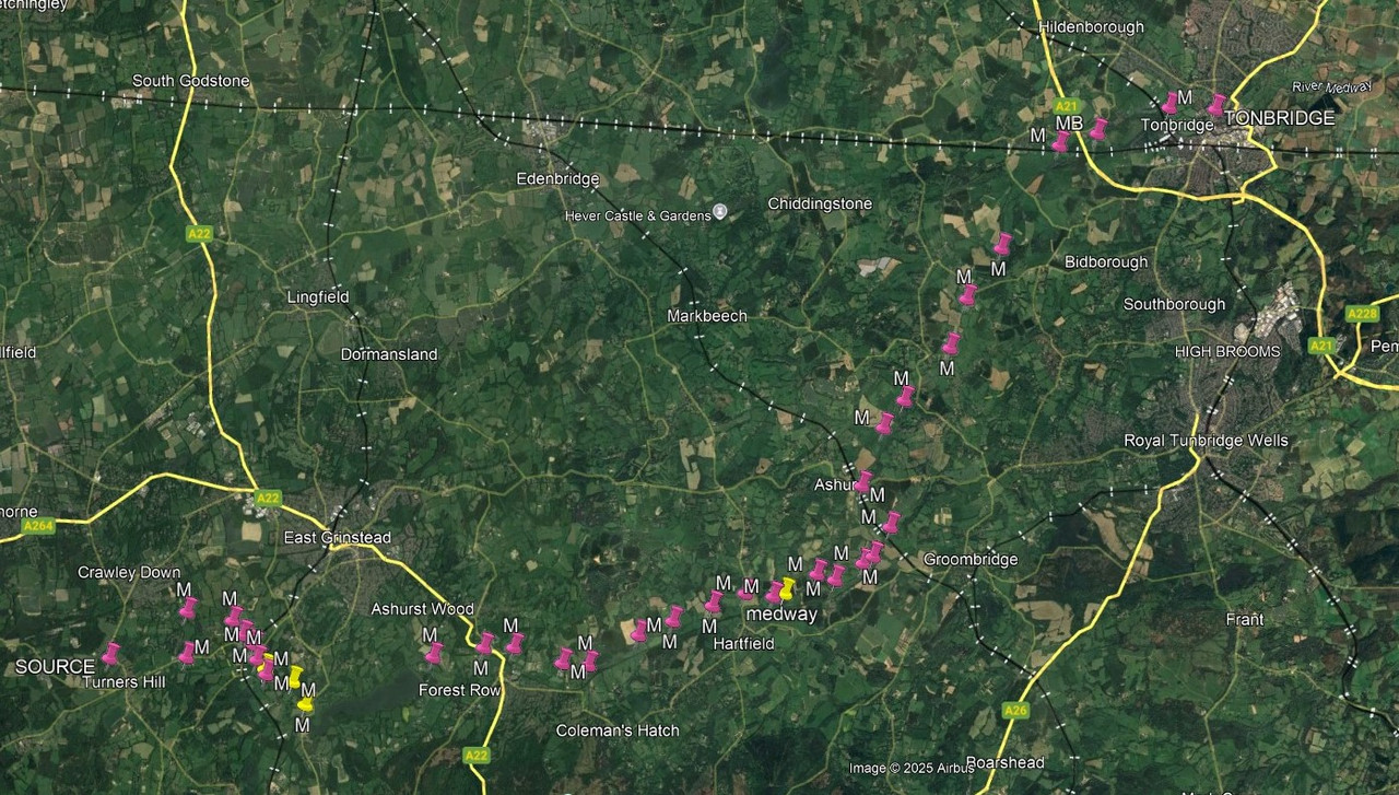
Have boated to Tonbridge, road bridge to low after that, then explored by inflatable and then kayak.

Navigable tributaries , where they join the Medway, all appear have No Boating signs on the river bank.
 
Last edited:

ianc1200

Well-known member
Joined
6 Dec 2005
Messages
3,346
Location
Frinton on Sea
Visit site
Screenshot (13).png

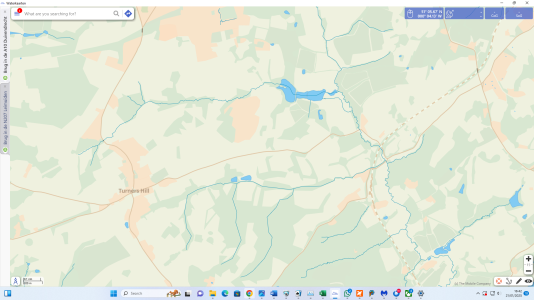
The Waterkaarten App shows it in good detail. In about 2004 we came up the Medway from the upper Thames, did get to the Tonbridge Town moorings, then went by inflatable for many miles upstream - seem to remember coming to a big resevoir and couldn't go any further - nothing anywhere as far as this shows.
 

oldgit

Well-known member
Joined
6 Nov 2001
Messages
28,404
Location
Medway
Visit site
As with the Thames ? due to water extraction, the source of the Medway has been slowly moving East.

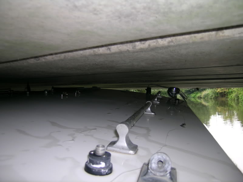
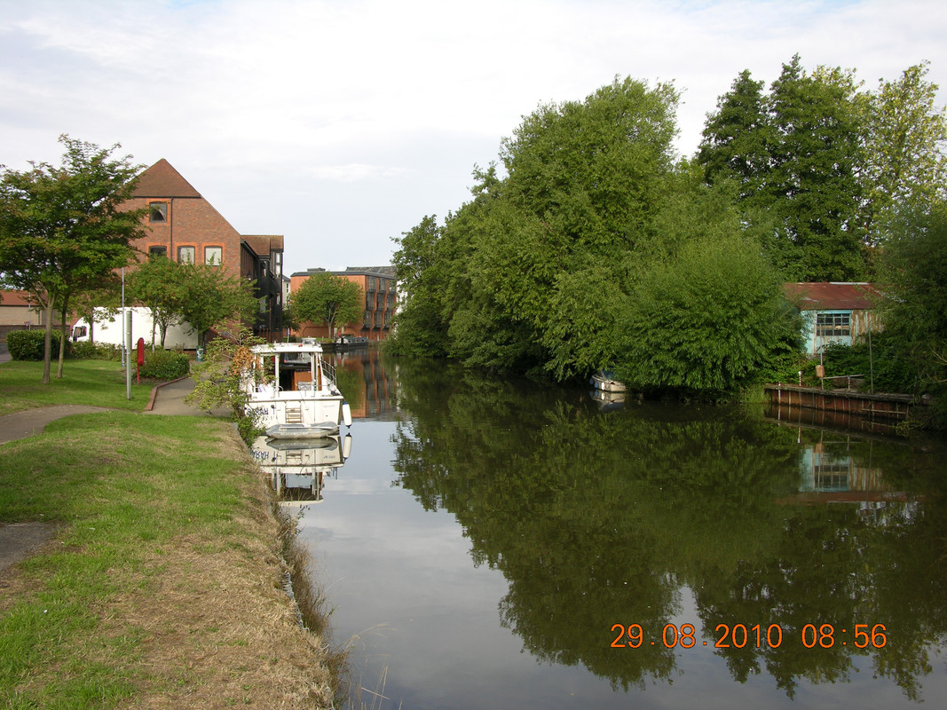
Tonbridge .
Cannon Bridge.

 
Last edited:
Top